Description
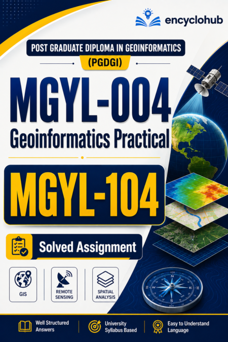
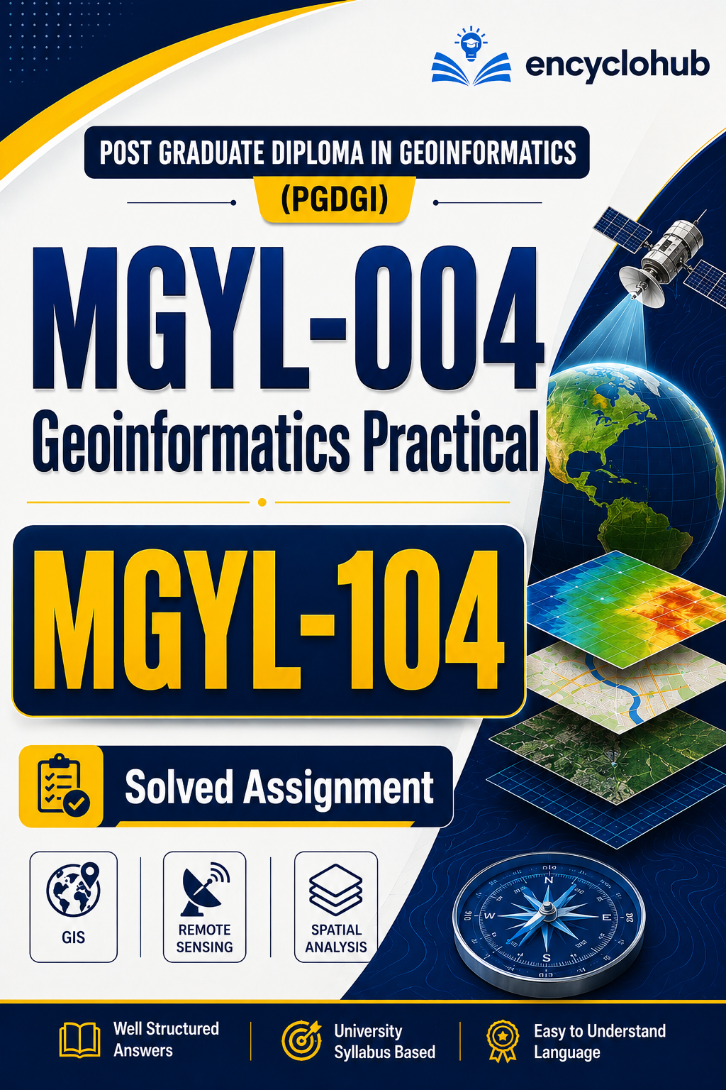
If you are an IGNOU Post Graduate Diploma in Geoinformatics (PGDGI) student searching for MGYL-004 Geoinformatics Practical Solved Practical PDF or MGYL-104 Geoinformatics Laboratory Solved Practical, then you are at the right place.
Our professionally prepared solved practical material is designed to help IGNOU learners understand GIS, Remote Sensing, Digital Image Processing, Spatial Analysis, DEM Generation, and Map Composition through practical exercises. It is useful for laboratory sessions, viva preparation, practical examinations, assignments, and revision.
The Geoinformatics laboratory course is a core practical component of the PGDGI programme and focuses on applying theoretical concepts to real-world geospatial datasets using GIS and Remote Sensing software.
Course Details
| Particular | Details |
|---|---|
| University | IGNOU |
| Programme | Post Graduate Diploma in Geoinformatics (PGDGI) |
| Course Code | MGYL-104 |
| Practical Code | MGYL-004 |
| Course Name | Geoinformatics Practical / Geoinformatics Laboratory |
| Credits | 6 (PGDGI Lab) |
| Study Mode | Distance Learning |
| Format | |
| Language | English |
What is MGYL-004 Geoinformatics Practical?
MGYL-004 (and the corresponding laboratory course MGYL-104 in PGDGI) is designed to provide hands-on experience in modern geospatial technologies. Students perform practical exercises involving GIS software, remote sensing imagery, spatial databases, Digital Elevation Models (DEM), map preparation, and spatial analysis.
Topics Covered
- GIS Fundamentals
- Spatial Database Creation
- Google Earth Applications
- Georeferencing
- Vector Digitization
- Editing Vector Data
- Attribute Table Management
- Data Quality Checking
- Remote Sensing Image Processing
- Image Enhancement
- Image Transformation
- Image Classification
- Ground Truthing
- Accuracy Assessment
- DEM Generation
- Contour Generation
- Overlay Analysis
- Buffer Analysis
- Spatial Query
- Map Layout Design
- Final Map Composition
Practical Examination Pattern
- Practical Performance
- Generated Outputs
- Map Preparation
- Software Handling
- Viva-Voce
Why Choose Our Solved Practical?
- Easy-to-understand explanations
- Step-by-step practical solutions
- GIS software workflow
- Remote sensing practical guidance
- Exam-oriented content
- Practical viva preparation
- Updated according to IGNOU practical pattern
- Instant PDF download
- Suitable for self-study
- Time-saving preparation
Benefits for Students
- Understand GIS concepts more effectively
- Improve practical software skills
- Complete laboratory work faster
- Revise before practical examinations
- Prepare confidently for viva questions
- Save valuable study time
Who Should Buy This?
- IGNOU PGDGI Students
- GIS Beginners
- Remote Sensing Learners
- Working Professionals pursuing IGNOU
- Students preparing for Practical Examination
- Learners looking for Geoinformatics laboratory support
PDF Features
- High Quality PDF
- Mobile Friendly
- Laptop Compatible
- Printable
- Clear Formatting
- Organized Chapters
- Practical Diagrams
- Easy Navigation
Frequently Asked Questions (FAQs)
Is this useful for MGYL-104 Practical?
Yes. The material is designed specifically for students preparing for the MGYL-104 Geoinformatics Laboratory practical examination.
Is it useful for viva preparation?
Yes. The practical explanations help build conceptual understanding, which is valuable during the viva.
Does it include GIS practical exercises?
Yes. It includes exercises related to GIS, spatial analysis, map preparation, DEM generation, contour creation, and remote sensing workflows.
Is it suitable for beginners?
Yes. The explanations are written in simple language so that even beginners can follow the practical steps.
Can I use it for exam revision?
Absolutely. It is designed to support quick revision before practical examinations.
Why Study Geoinformatics?
Geoinformatics is one of the fastest-growing interdisciplinary fields, combining Geography, GIS, Remote Sensing, GPS/GNSS, and Spatial Data Analysis. These skills are widely used in urban planning, environmental monitoring, disaster management, agriculture, transportation, surveying, and infrastructure development.
Final Words
If you are preparing for IGNOU MGYL-004 Geoinformatics Practical or MGYL-104 Geoinformatics Laboratory, this solved practical PDF is an excellent companion for mastering laboratory exercises, strengthening conceptual understanding, and preparing for practical examinations with confidence.
Start your preparation today and build a strong foundation in GIS, Remote Sensing, and Spatial Analysis with comprehensive, exam-oriented practical material.